GRAVITY
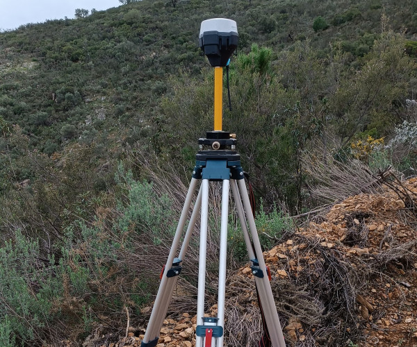
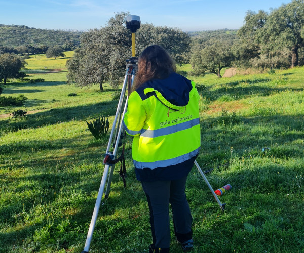
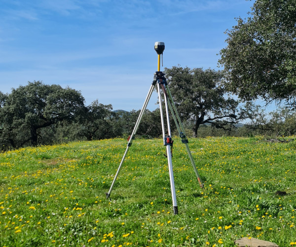
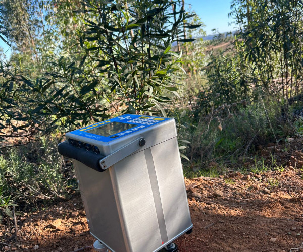
Gravity surveying is based on the quantification and analysis of the gravity field at the surface of the earth's crust. This field is affected by the density distribution of the materials present in the subsurface. The gravimetric method of geophysical prospecting measures local gravity to detect subtle variations in the Earth’s gravitational field in order to infer density contrasts associated with different lithologies and mineral deposits. In this process, high sensitivity specialized equipment is used, and the positioning of each station is recorded with centimeter-accurate GPS equipment. Given the fact that metallic mineralization deposits are normally denser than their surroundings, this is a standard methodology used in the industry. From it, density maps are obtained allowing to identify high-density mafic intrusions, dense ore bodies, and basin geometries that can control mineralizing fluids. As it relies on natural gravitational forces, data collection over large areas is possible, and represents an excellent complement for other geophysical methods by providing an independent constraint on subsurface models and target validation.